[ALTERNATIVE DOCUMENTATION] "AquaScan Photometric Mapping The Ocean"
AquaScan - Rapid Seafloor Mapping using Aerial Drones
Problem: Mapping the seafloor is an incredibly powerful tool that allows us to access the health of coral reefs and coastal marine ecosystems. You can achieve stunning 3D maps of the seafloor similar to this sample. Current methods for mapping the seafloor is prohibitively expensive and time consuming and are not practical to roll out in large areas or to repeat periodically because of the high costs.
This kind of technology could give us valuable data showing whether the marine life is improving or deteriorating and would allow us to create rich seafloor data and high quality images for researchers to study. This could significantly advance our understanding of coral reefs and marine ecosystems.
Solution: Develop a device consisting of an array of camera’s that can be dipped in the ocean in a grid pattern to rapidly and inexpensively map the seafloor and be stitched together with photogrammetry into a 3D map.
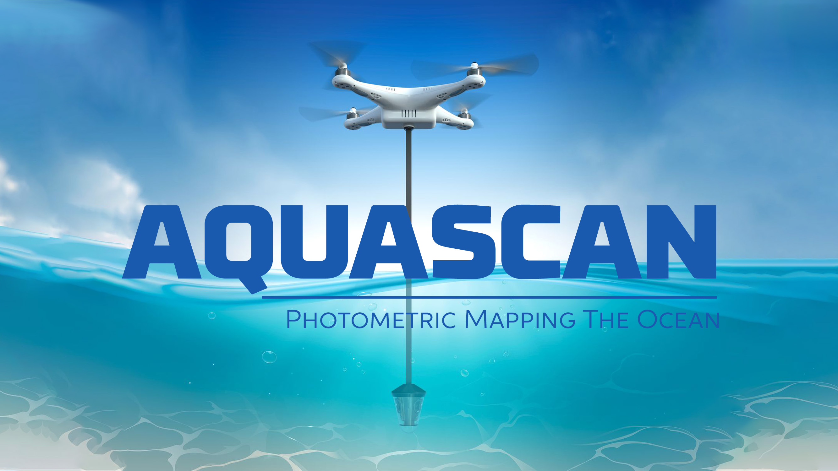
Proposed Method: Mount 3 GoPro’s (or similar camera’s) that are waterproof to 7m (21ft) angled outwards at 120 degrees (view) and angled downward at 30 degrees (view). Overall it will look like this with the drone hovering over various grid points on a map. The drone would need to have a very accurate GPS location. The array that is dipped in the water can go to a maximum of 5m and it should have sonar on the array which stops the drone at a position where the array is 1m above the seafloor or at a maximum of 5m depth. The line connecting the array to the drone should be long enough that the drone doesnt get too close to the surface of the water. The geotagged images will be stitched together to create a highly detailed 3D image similar to this coral reef demo. Ideally we would be able to select an area of a map and one or more drones would cover that area in a grid pattern.
Timeframe: <text>
Size Constraints: <text>
Target Build Cost: <text>
Prize: Get credited as a Project Contributor for the Ocean Builders Project, <text>
Repository: <text>
License Requirement: Open Source and available for personal or commercial use maintaining the same license for all future code iterations
Research: https://dronedj.com/2018/01/11/the-powerdolphin-underwater-drone/
Potential Resource: https://petapixel.com/2019/11/13/this-algorithm-can-remove-the-water-from-underwater-photos-and-the-results-are-incredible/
HARDWARE
|
POINTS |
REQUIRED |
FEATURE |
|
200 |
Yes |
Are there at least 3 cameras on the array? |
|
300 |
Are there more than 3 cameras on the array? |
|
|
200 |
Yes |
Are the cameras angled so they can get the optimum images (30 degrees below the horizon is recommended) |
|
200 |
Yes |
Is there sonar that stops the drone from lowering the array to less than 1m above the seafloor? |
|
200 |
Yes |
Do all cameras take 5MP+ resolution images? |
|
500 |
Do all cameras take 12MP+ resolution images? |
|
|
200 |
Yes |
Does the total assembly (not including the drone) weigh less than 1kg? |
|
500 |
Does the total assembly (not including the drone) weigh less than 600g? |
|
|
100 |
Does it measure total dissolved oxygen? |
|
|
100 |
Does it measure turbidity? |
|
|
100 |
Does it measure water temperature? |
|
|
100 |
Does it measure pH? |
SOFTWARE
|
Points |
Feature |
|
300 |
Can you select an area to be surveyed? |
|
200 |
Can it break up an area into sections that are close enough to create an accurate underwater 3D map of the area without missing spots? |
|
200 |
Can it detect if the area is over water or land and prevent the drone from going over land? |
|
400 |
Can it avoid lowering the sensor when a boat or vessel is getting too close to the drone |
Project video link:
https://www.dropbox.com/s/7se8k63unlyrdkq/AquaScan.mp4?dl=0
This project is being developed as an open-source project with the following licensing:
- Software: GPL-3.0 - https://www.gnu.org/licenses/gpl-3.0.en.html
- Hardware, Design & other Intellectual Property: CC-BY-SA-4.0 - https://creativecommons.org/licenses/by-sa/4.0/